



Satellite greenness timing reveals where invasive plants hide in cities
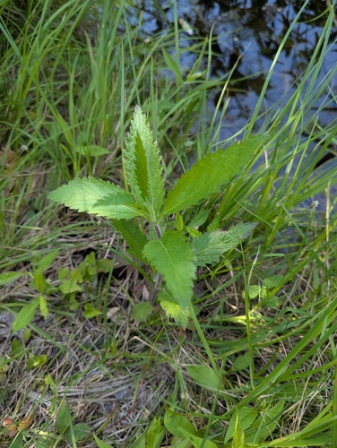
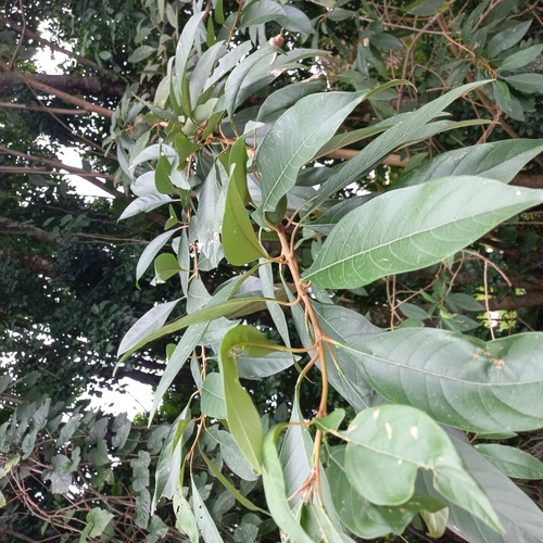
Researchers tracked satellite greenness patterns over time to pinpoint exactly when and where three invasive plants are easiest to spot in an Indian city, then confirmed the hotspots using Google Street View and field visits. The approach could help cities find and manage invasive plants without expensive, labor-intensive surveys.